Experience an advanced navigation solution with this compact 7-inch GPSMAP 742 touchscreen combo. Includes wireless connectivity features for Garmin mobile apps, NMEA 2000 support and Garmin Marine Network capabilities for radar and Panoptix FrontVü collision avoidance sonar.
Features:
Garmin Marine Network and NMEA 2000 Support: Full-network compatibility allows you to add more capabilities to your boat. Garmin Marine Network support allows sharing of sonar, including Panoptix sonar, maps, user data, Garmin radar, and IP cameras among multiple units. Plus, there’s NMEA 2000 and NMEA 0183 support for connectivity including autopilots, digital switching, weather, FUSION-Link, VHF, AIS and other sensors.
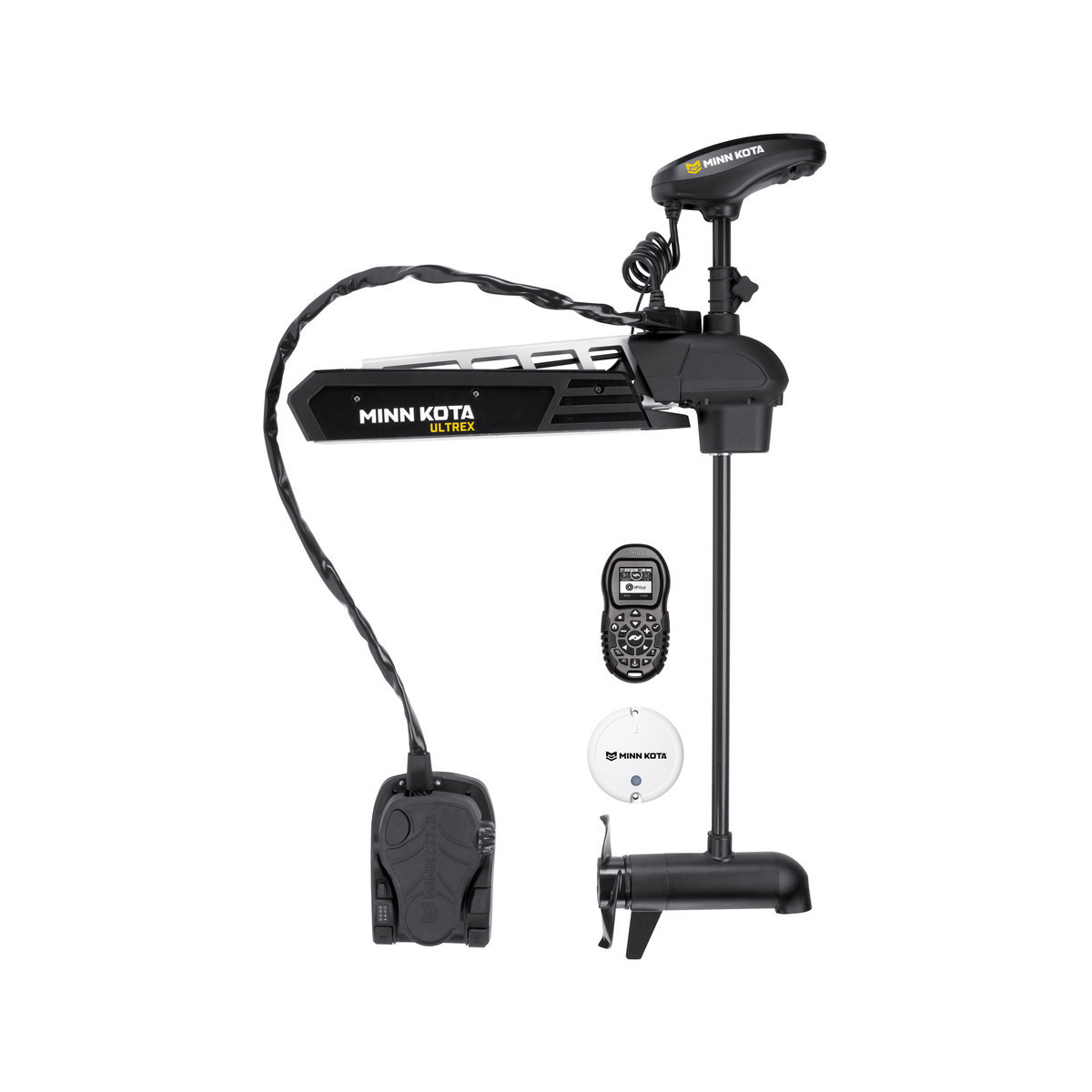
Built-in ANT Connectivity: Enjoy built-in ANT wireless connectivity directly to quatix® marine watch, Garmin Nautix™ in-view display, gWind™ Wireless 2 transducer, GNX™ Wind marine instrument and wireless remote controls.
The Ultimate Connected Boating App: Built in Wi-Fi gives you access to the free all-in-one ActiveCaptain™ app, so you can manage your marine experience from nearly anywhere. It creates a simple yet powerful connection between your compatible mobile device and your Garmin chartplotter, charts, maps and the boating community. Wherever you are, you’ll have unlimited access to your cartography, the ability to purchase new maps and charts and access to the Garmin Quickdraw™ Contours Community. Stay connected with smart notifications on your chartplotter screen. You can also plan a trip or prefish a lake, and ActiveCaptain will automatically sync with your chartplotter. Even get notifications for software updates, and decide when to download them on your device.
Heading and Position Refreshed 10 Times per Second: Fast, responsive built-in 10 Hz GPS and GLONASS receiver refreshes your position and heading 10 times each second to make your movement on the screen more fluid. It makes dropping up to 5,000 accurate waypoints — and finding your way back to them — quick and easy.
Preloaded with Exceptional Garmin Cartography: LakeVü g3 inland maps and BlueChart® g3 coastal charts provide industry-leading coverage, clarity and detail with integrated Garmin and Navionics® data and Auto Guidance1 technology. LakeVü g3 and BlueChart g3 include Auto Guidance1, which uses your desired depth and overhead clearance to calculate routes and provide a suggested path to follow. LakeVü g3 provides coverage on more than 17,000 lakes with up to 1’ contours. BlueChart g3 also includes NOAA raster cartography, available as a free downloadable feature via the ActiveCaptain® app.
Upgrade to Garmin’s Best Maps on the Water: Accessory map purchases, such as LakeVü g3 Ultra or BlueChart® g3 Vision, add even more features and detail to your maps and charts. LakeVü g3 Ultra and BlueChart g3 Vision add high-resolution relief shading, which provides an easy-to-interpret, clearer view of bottom structure than contour lines alone — plus many other chart and map-enhancing features.
Quickdraw Contours to Create Your Own HD Maps: Instantly create personalized HD fishing maps on-screen with 1-foot contours. Tailor them to fit your needs. These are your maps — you own them. Keep the data to yourself, or share it with the Quickdraw Community on Garmin Connect™.
Built-in SailAssist Features: To help you gain a wind-maximizing competitive edge, your chartplotter features a pre-race guidance page that shows your virtual starting line along with data fields showing laylines, time to burn before the start and a race timer that can be synchronized across all your networked Garmin GPS products. In addition, other supported sailing features include an enhanced wind rose, heading and course-over-ground lines, set and drift, true and apparent wind data and more.
GPX Waypoints Transfer: If you have waypoints, tracks or frequently used routes stored on another manufacturer’s GPS product — or on a Garmin handheld device — it’s easy to transfer those items to your new Garmin chartplotter via industry-standard GPX software formatting.


Reviews
There are no reviews yet.